Three years after the federal government proposed the idea of requiring East Coast boats as small as 35 feet to cruise no faster than 10 knots, things are moving in a decidedly different direction when it comes to protecting endangered North Atlantic right whales against vessel strikes. Not only has the proposed speed restriction been stopped, there is also a significant research effort underway to try and ensure there will be no need for such a rule in the future.
“You cannot eliminate risk, that’s impossible. But we’re very committed to finding ways of leveraging technology so we can move toward reducing risk for whales, to the extent possible,” says John DePersenaire, director of government affairs and sustainability at Viking Yachts in New Jersey, as well as chairman of the industry-wide Whale and Vessel Safety Task Force.
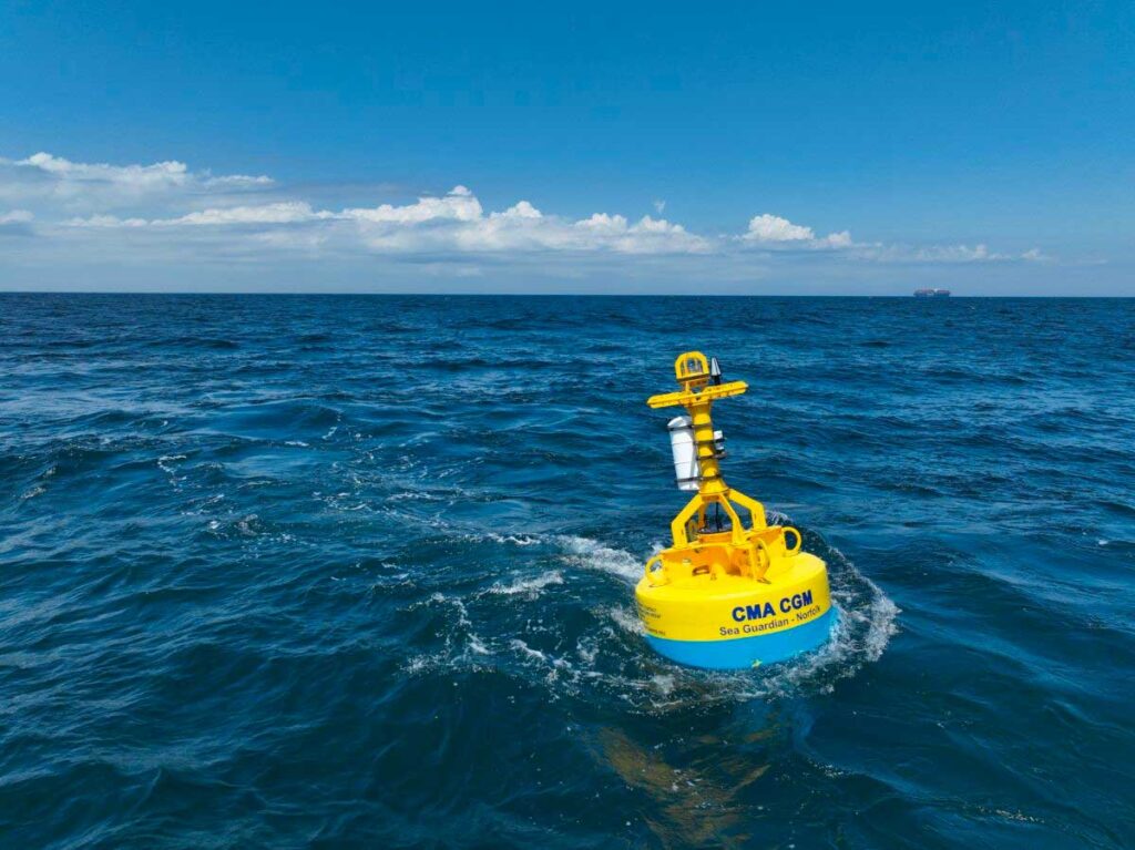
Research into whale-detection technology aboard boats is advancing through the WAVS task force and recreational marine companies. At the same time researchers at the Woods Hole Oceanographic Institution in Massachusetts are launching more buoys that can transmit whale locations to government agencies. Those agencies, in turn, can push out notices to boaters.
“The goal here is to have boating and shipping activities and still have right whales too, and have those things coexist mostly peacefully in the ocean,” says Mark Baumgartner, senior scientist at Woods Hole who developed the buoy technology.
In March, the Massachusetts Department of Fish & Game’s Division of Marine Fisheries announced it’s partnering with Woods Hole to deploy two buoys off Cape Ann and Cape Cod Bay—adding to an existing network that now totals 13 buoys. They’re located as far south as Savannah, Georgia, on the East Coast, with two of them on the West Coast.
These buoys use passive acoustic monitoring technology to listen for whales, classify the type of whales, and send the information back to shore. This tech uses an algorithm that turns whale sounds into much smaller, more easily transmittable data called pitch tracks that people can interpret ashore.
“We can’t send the sound home. It’s just too much data,” Baumgartner says. “The satellite systems that we use to transmit data from sea to shore are really, really limited. They’re like back in the day when you were using computer modems to transmit data from computer to computer.”
The buoys are used in high-traffic ferry routes, he says. The tech can only hear North Atlantic right whales within a couple miles, and only when the whales choose to make noise. Those limitations, along with the $250,000 to $300,000 cost of each buoy, make widespread placement unlikely. “We would basically have to carpet the ocean with these things,” Baumgartner says, “and they aren’t cheap.”
Still, the buoys provide valuable data in high-traffic areas—and it can be added to information that recreational marine companies are figuring out how to collect and transmit.
In May, the WAVS Task Force recognized Garmin for its new Automatic Identification System messaging feature that allows targeted safety alerts to be delivered directly to boaters using a system that already exists on thousands of recreational and commercial boats.
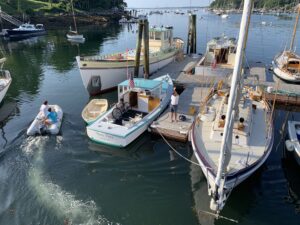
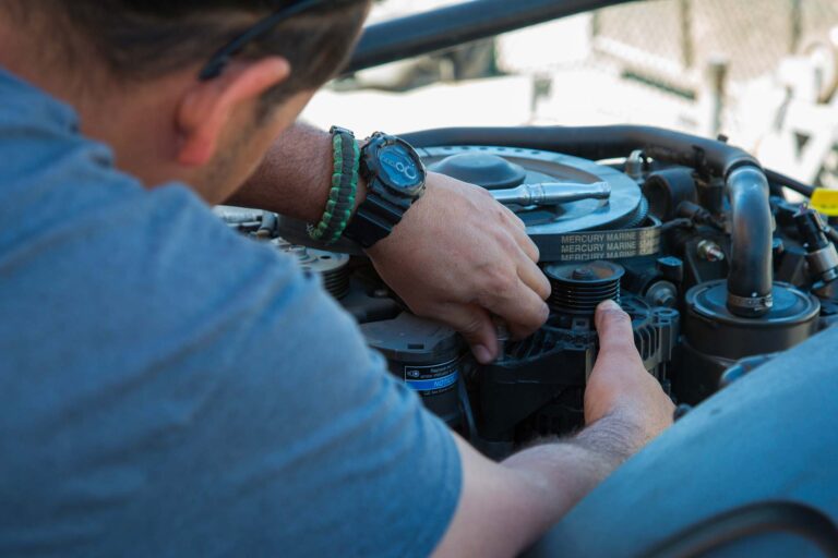
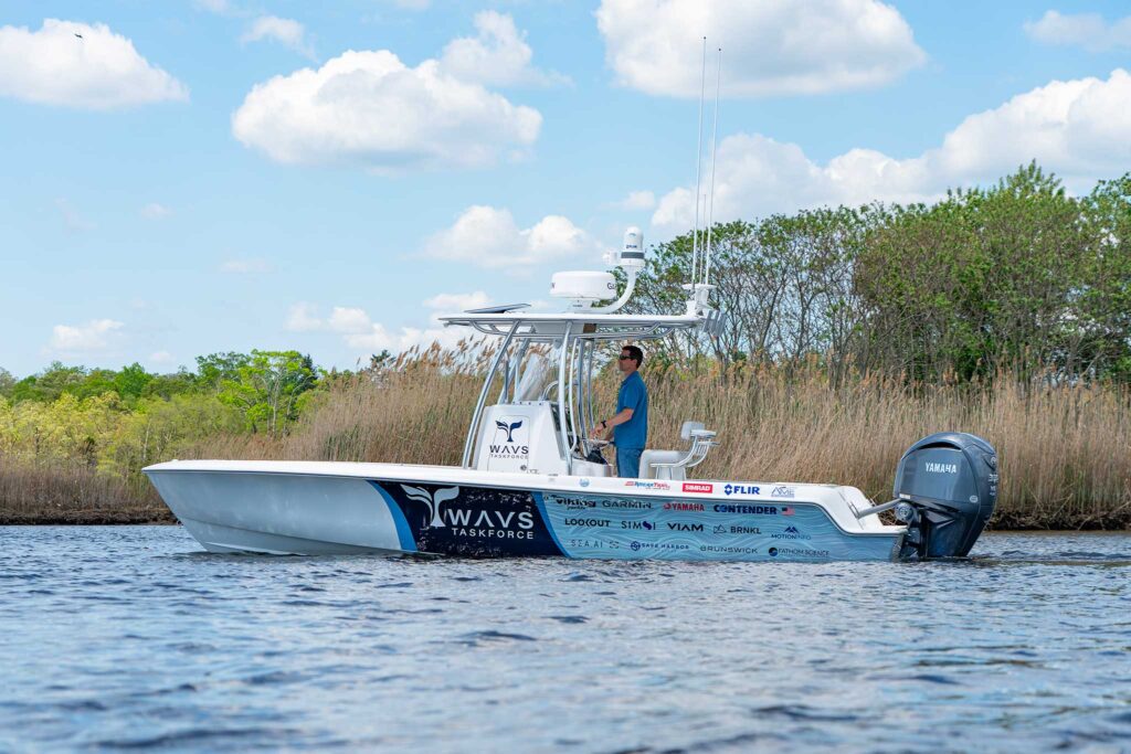
WAVS also recently received a donated 24-foot Contender. The task force tricked it out with all kinds of donated marine electronics systems. There’s a FLIR setup sending information to multifunction displays by Garmin and Simrad, with processing by Lookout AI and Sea.AI, all backed up by Starlink. The goal is to find what’s actually required aboard a recreational boat to detect and avoid a whale.
“They can build something that can detect whales and put it on a boat, but it’s like $200,000, and it’s giant and ugly,” DePersenaire says. “We believe we can get by with a $24,000 FLIR. And we’re interested in going even further down the price-point scale to get to that same level of detectability.”
The WAVS research will be used to inform government agencies, which, DePersenaire says, currently base their risk-encounter modeling for whales on huge vessels.
“Currently, the way they model that is based on 800-foot displacement ships and tankers. It just isn’t applicable to small boats in the recreational sector,” he says. “Providing empirical data on how those kinds of recreational vessels can respond is going to be important.”
WAVS is also working with government agencies on infrastructure needed ashore to support all of this tech. AIS messages and alerts, for instance, come through AIS transmitting stations with a limited range. “As that infrastructure gets built along the coast, we’re going to need to verify the range capabilities,” DePersenaire says, adding that the Contender can be used for that, too. “We installed an AIS Class A system on it.”
The hope, he adds, is not only to help the endangered whale species recover, but also for boaters everywhere to be ready for even more potential encounters when that happens.
“If the population of right whales does rebound and we start to see it get up to 500 or 1,000 in a couple decades, the reality is that they’re going to be around our waters all the time,” he says. “We have to get more refined than just knowing they’re in the general area. That’s where we need to think about vessel-based detection, because that’s what’s ultimately going to get us to the point that we can reduce risk enough.”
August 2025