
A team of scientists and investigators have found the voyage data recorder from El Faro, the cargo ship that sank during Hurricane Joaquin last fall with all 33 hands on board.

Using undersea robotic vehicles, the team — from the National Transportation Safety Board, Woods Hole Oceanographic Institute, Coast Guard and ship owner Tote Services — found the data recorder in 15,000 feet of water, 41 miles northeast of Acklins and Crooked islands in the Bahamas, the NTSB says in a statement. “Finding an object about the size of a basketball almost three miles under the surface of the sea is a remarkable achievement,” says NTSB chairman Christopher A. Hart.
The VDR was still attached to El Faro’s mast, which the ROVs found on the sea floor several hundred meters from the hull. The VDR can record conversations and sounds from the navigation bridge and should provide investigators with evidence to help them understand the sequence of events that led to the sinking.
The NTSB says it won’t be possible to recover the VDR until a later mission because video and photographic images show that it’s still attached to a steel beam connected to the mast structure. “Now that we have been able to see just how the VDR is oriented, relative to the mast structure, it’s clear that we’re going to need specialized deep-water salvage recovery equipment in order to bring it up,” says Brian Curtis, acting director of the NTSB’s Office of Marine Safety. “Extracting a recorder capsule attached to a 4-ton mast under 15,000 feet of water presents formidable challenges, but we’re going to do everything that is technically feasible to get that recorder into our lab.”
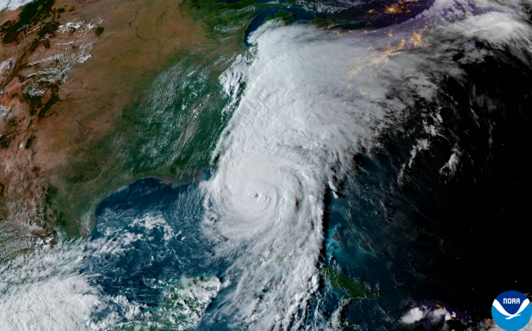
When El Faro sank Oct. 1, the 40-year-old, 790-foot ship was on a weekly run from Jacksonville, Florida, to Puerto Rico carrying groceries, cars and other retail products packed into 391 lift-on/lift-off containers topside and 294 roll-on/roll-off trailers and cars below deck. The Coast Guard received electronic distress alerts from three sources: El Faro’s Ship Security Alert System, its Inmarsat-C Alert and its EPIRB, which put her location 20 miles from Joaquin’s eyewall. The ship then went silent.
On Oct. 31 a search team aboard the USNS Apache found the wreck near El Faro’s last known position. During the next two weeks, the team used a CURV-21 ROV to confirm the wreck was El Faro and to survey the wreckage and debris field. The VDR, however, remained missing.
Investigators returned to the site in April aboard the research vessel Atlantis, with more sophisticated equipment, to search for the VDR. Atlantis deployed the autonomous underwater vehicle Sentry, which is equipped with sensors, high-resolution cameras, and side-scan and other sonar that can generate detailed maps of the ocean floor. It also towed a fiber-optic-controlled vehicle called Camper to collect video. Two thrusters on Camper enable it to be positioned over targets of interest selected from maps that Sentry generates.
About 1 a.m. on April 26 the undersea vehicles located El Faro’s mast, and about an hour later they found the VDR, Woods Hole reported.
The team aboard Atlantis continued photo and video documentation of the wreck and debris field, and assembled detailed photographs from Sentry into photo mosaics of the site to aid in the eventual recovery of the VDR.
As the Coast Guard Marine Board of Investigation hearings continued in May, Jerry Hale and Rich Brown, of Applied Weather Technology, the firm that supplied El Faro’s subscription weather products, provided testimony. They told the panel that a forecast package sent to El Faro the morning she sailed contained storm track data that had not been updated to the latest available information from the National Weather Service.
“The underlying model data, the winds, the waves were all up to date. The storm track … data would have been out of date by … 10 hours,” said Brown. He believes “it was processed late, so it didn’t get into the next package” but said that AWT had not been able to determine the reason for the late processing. The discrepancy was limited to this forecast update, and Brown emphasized that it did not affect the wind and wave predictions, which were based on the most recent National Weather Service data.
This article originally appeared in the July 2016 issue.