


Historically in the Mid-Atlantic and Northeast, where offshore canyons are often more than a 100-mile journey from shore, offshore fishermen relied on reports from other anglers and personal local knowledge to find the fishing hot spots. Many times, though, heading out into the deep was a shot in the dark and a potentially expensive fuel investment. The worst-case scenario? Motoring around for 12 hours and then returning to the dock with an empty fish box and the dreaded feeling of defeat.
Then, about 10 years ago, anglers started going online to access the National Oceanic and Atmospheric Administration’s sea surface temperature imagery, which showed the location of eddies, temperature breaks, and other temperature anomalies that attract plankton, forage fish and pelagic predators, such as billfish and tuna.
Soon, professional services and subscription-based apps that broadcast this data over a map interface for use on computers and mobile devices began popping up. Some of these services are very detailed and easy to understand, while others are displayed in a slightly more cryptic fashion. The biggest downside is that the mobile services don’t work offshore unless the boat is equipped with satellite gear to connect to the Internet. Then, there’s the cost. Some of the more expensive, bespoke fishing analyses (often prepared by hand) can cost as much as $2,000 a season, and while app- and Internet-based subscriptions are much less costly, you obviously have to know how to read them correctly.
So, when SiriusXM Marine’s new Fish Mapping recently came online, it quickly caught my eye.
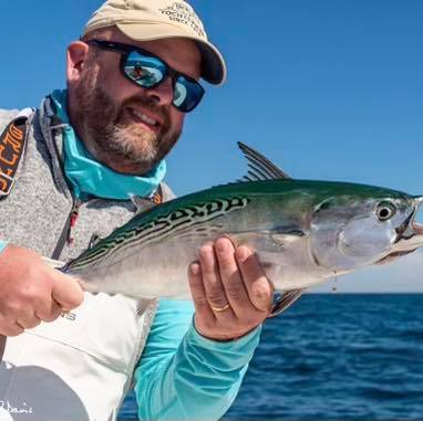
 Brian Horsley
The new service, which costs $99 per month, uses data from orbiting satellites in space to overlay sea surface temperature contours, temperature front strengths and 30-meter subsurface temperatures, as well as plankton concentration contours and front strengths and the location of weed lines, which often attract sportfish. Also included are sea surface height anomalies, fishing recommendations prepared by oceanographers and the SiriusXM Marine Offshore Weather package.
The Fish Mapping service is currently available for use with a variety of Garmin chartplotter/multifunction displays. A Garmin GXM 54 weather receiver is required to make use of the service. The coverage area includes offshore waters out to about 150 miles on the East and West coasts of the United States and Canada, as well as the Gulf of Mexico and the Pacific Ocean down to Baja and across to the Yucatan Peninsula. Best of all, no cellular data is required.
The online demonstration I viewed shows the service to be hyper-intuitive. Though you can read the data layers as they are, more useful is moving the chartplotter cursor over specific areas, which triggers alerts such as “Very Strong” and “Strong,” depending on the data you are observing. You can also combine data layers to determine potential productive areas. One such scenario might be overlaying sea surface temperature with a plankton concentration front strength layer.
I’m looking forward to testing the tech when yellowfin tuna season arrives off Ocean City, Maryland, in May next year.
This article originally appeared in the December 2019 issue.

")


")


